
World History Maps: Ancient

100+
Downloads

Everyone
info
About this app
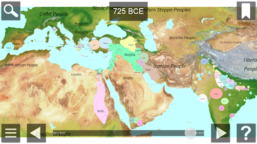
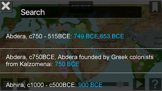
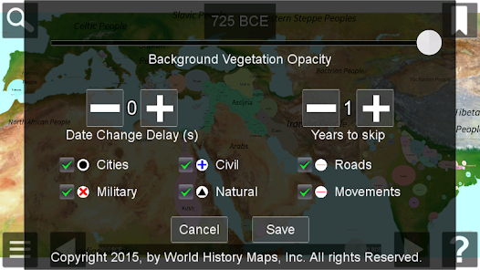
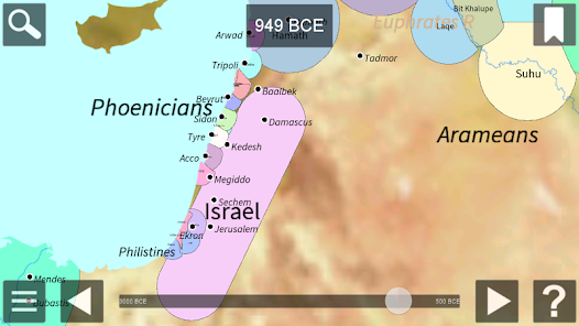
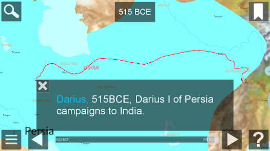
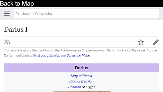
This interactive atlas of the ancient western world gives you a close up view of the area from the Mediterranean to India from 3000 BCE to 500 BCE. The map allows zooming and panning. Pop-up information is available for each country shown. Each map shows all countries of the world as they were at the beginning of each year. View cities, battles, campaigns, ancient roads, and more. Links to Wikipedia articles provide more detail. Zoom in without losing any detail.
Updated on
Safety starts with understanding how developers collect and share your data. Data privacy and security practices may vary based on your use, region, and age. The developer provided this information and may update it over time.

No data shared with third parties
Learn more about how developers declare sharing

No data collected
Learn more about how developers declare collection
What's new
Updated and improved settings dialog
Time slider can be on the side of the screen
64-bit support
Time slider can be on the side of the screen
64-bit support


